The Human Project
Sophie Campbell
Ur is defined as original. As a prefix it denotes the primitive, natural or original state. Scapes are pictures or representations (in this case maps). The Urscape is a graphical rendering of origins. Topology is a term that embraces the physical and aesthetic reality of a surface.
Topology has its roots in the ancient Greek words topos (“place”) and logos (“word” or “study”). In mathematics it relates to the study of continuity and connectivity in abstract surfaces, but topology can also be understood in a way that encompasses a broader approach to a constructed reality. Topology is the art of working on a terrain with complex surface structures and artificial topography as they interrelate with the forces of change in the environment. It refers also to the manner in which landscapes are assessed and shaped by societal and cultural evolution. In this sense, topology means not only modelling the features of a terrain, but mapping its structure and understanding its adaptive nature when overlaid with extrinsic data.
The Human Project
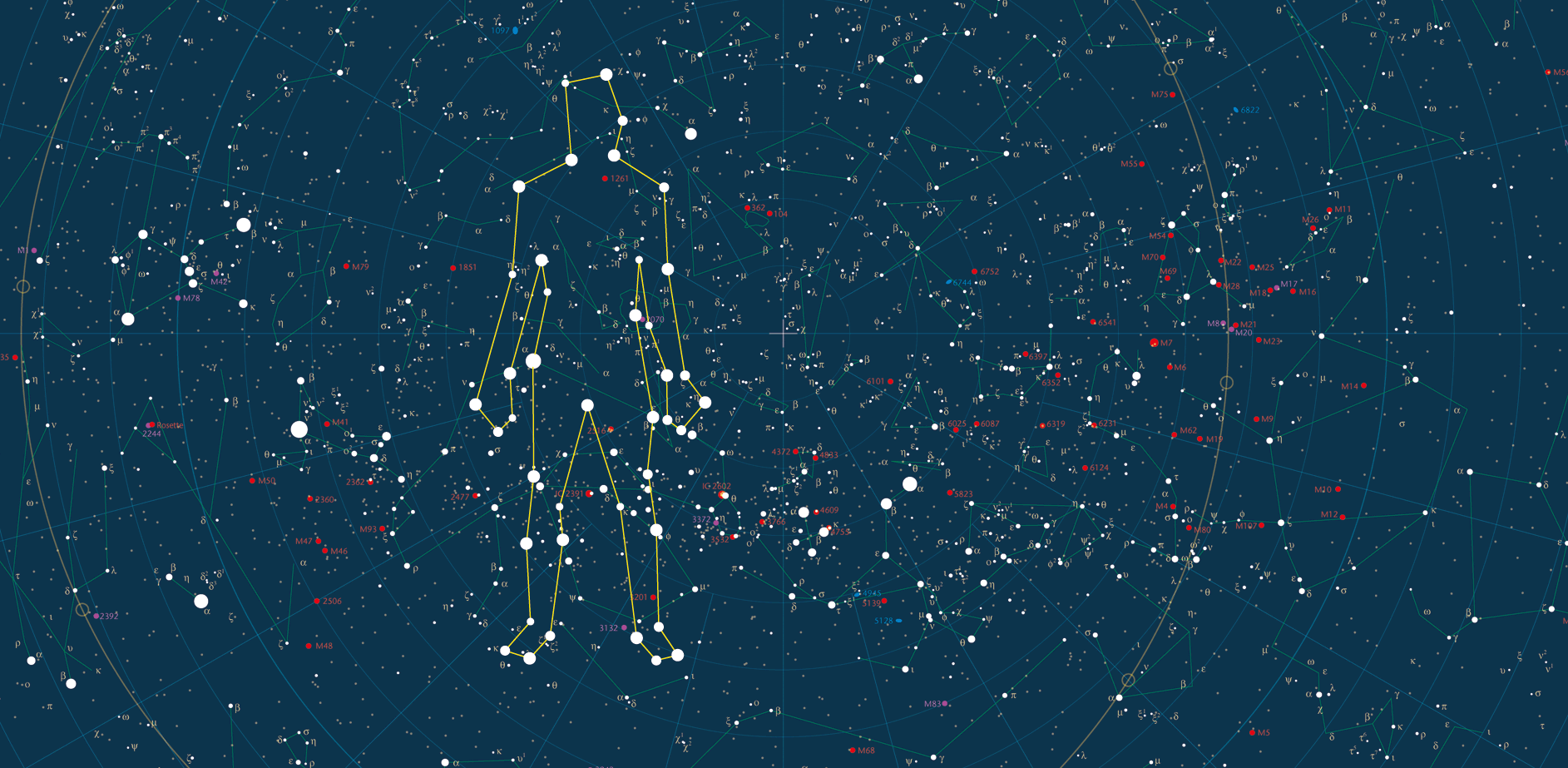
This is my current research/design project. A publisher has commissioned a set of mappings of migration, the great diaspora that spilled out of Africa more than 2 million years ago with proto-humans and ended when modern humans, the Polynesians, set foot on the last uninhabited land mass less than a thousand years ago. These topologies overlay the very real topography of Planet Earth through datasets provided by diverse disciplines: forensic cell analysis, archaeology, ethnology, ethnomusicology, and others.
To map human migration around the globe, one follows a crooked line. The journey has happened in waves with backwash. Each of the datasets I've analysed has produced a slightly different picture. DNA from ancestral 'Adam' has a different timeline to mitochondrial DNA from ancestral 'Eve'. The story told by the spread and cross-fertilisation of language paints a different graphical image to the migration of music around the globe. Each dataset is being rendered from a bird's eye view and each image needs to be overlaid to gain a sense of where we have been and how we got to where we are.
This project calls for 13 maps, one of which will have 20 iterations. This website has been made to track my progress through this project. It is unbuilt. The links as of today go nowhere but will join in one by one. By July 2018 I hope to have it and the project completed.
February 2018